Created
July 20, 2018 18:49
-
-
Save gergness/5987e80dfcbc325e16e2a78c184b28ed to your computer and use it in GitHub Desktop.
Animated cartograms with NHGIS data
This file contains bidirectional Unicode text that may be interpreted or compiled differently than what appears below. To review, open the file in an editor that reveals hidden Unicode characters.
Learn more about bidirectional Unicode characters
| library(purrr) | |
| library(ipumsr) # requires development version: devtools::install_github("mnpopcenter/ipumsr") | |
| library(rmapshaper) | |
| library(ggplot2) | |
| library(gganimate) # devtools::install_github("thomasp85/gganimate") | |
| library(stringr) | |
| library(dplyr) | |
| library(tidyr) | |
| library(cartogram) | |
| library(sf) | |
| # Data and shape files from NHGIS: | |
| # Go to nhgis.org -> Get Data | |
| # Select the Total Population Time Series data that goes back to 1790 | |
| # Select the 2010 state shape files | |
| # Submit extract (Make an account / log in) -> Default file options are okay | |
| extract_number <- "0039" # Change this to match your extract | |
| exclude_states <- c( | |
| "G020", # Alaska | |
| "G150", # Hawaii | |
| "G720" # Puerto Rico | |
| ) | |
| data <- read_nhgis(paste0("data/nhgis", extract_number, "_csv.zip"), var_attrs = NULL) %>% | |
| filter(!GISJOIN %in% exclude_states) %>% | |
| select(GISJOIN, starts_with("A00AA")) %>% | |
| gather("year", "pop", -GISJOIN) %>% | |
| extract(year, "year", "A00AA([0-9]{4})$", convert = TRUE) %>% | |
| filter(year >= 1950 & !is.na(pop)) | |
| shapes <- read_ipums_sf( | |
| paste0("data/nhgis", extract_number, "_shape.zip"), | |
| matches("us_state_2010"), | |
| vars = GISJOIN, | |
| verbose = FALSE | |
| ) %>% | |
| filter(GISJOIN %in% data$GISJOIN) %>% | |
| ms_simplify(0.001) | |
| cartograms <- inner_join(shapes, data, by = "GISJOIN") %>% | |
| group_by(year) %>% | |
| nest(.key = "sf") %>% | |
| mutate(sf = map(sf, ~cartogram_cont(., "pop"))) %>% | |
| mutate( | |
| total_pop = map_dbl(sf, ~sum(.$pop)), | |
| total_area = map_dbl(sf, ~sum(st_area(.))) | |
| ) %>% | |
| mutate( | |
| cur_scalar = total_area / total_area[year == 2010], | |
| desired_scalar = total_pop / total_pop[year == 2010], | |
| ) %>% | |
| mutate(scalar_adj = desired_scalar / cur_scalar) %>% | |
| mutate( | |
| sf = map2(sf, scalar_adj, function(.x, .y) { | |
| .x$geometry <- .x$geometry * sqrt(.y) | |
| .x | |
| }) | |
| ) %>% | |
| unnest() %>% | |
| st_as_sf() %>% | |
| mutate(state = paste0("Year: ", year)) | |
| area_map <- shapes %>% | |
| mutate(area = as.numeric(st_area(.))) %>% | |
| cartogram_cont("area") %>% | |
| mutate( | |
| geometry = geometry * sqrt(cartograms$scalar_adj[cartograms$year == 1950][1]), | |
| state = "Map" | |
| ) | |
| plot_data <- bind_rows(area_map, cartograms) %>% | |
| st_as_sf() %>% | |
| mutate(state = factor(state, levels = c("Map", unique(cartograms$state)))) | |
| make_caption <- function(x) { | |
| if (x == "Map") return("") | |
| paste0("Total populaiton of Continental US: ", scales::comma(plot_data$total_pop[plot_data$state == x][1])) | |
| } | |
| ggplot(plot_data) + | |
| geom_sf() + | |
| coord_sf(datum = NA) + | |
| theme_minimal() + | |
| transition_states(state, 2, 1) + | |
| labs( | |
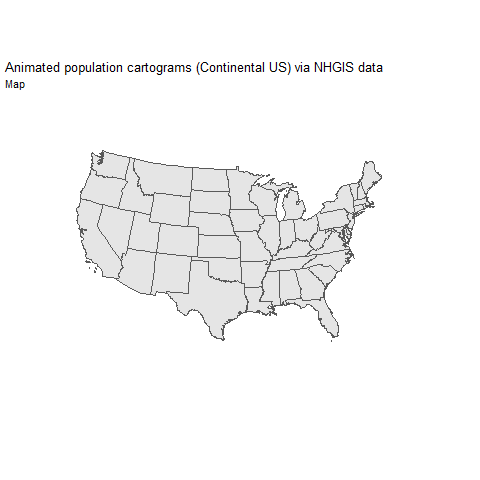
| title = "Animated population cartograms (Continental US) via NHGIS data", | |
| subtitle = "{closest_state}", | |
| caption = "{make_caption(closest_state)}" | |
| ) |
Author
gergness
commented
Jul 20, 2018
Sign up for free
to join this conversation on GitHub.
Already have an account?
Sign in to comment