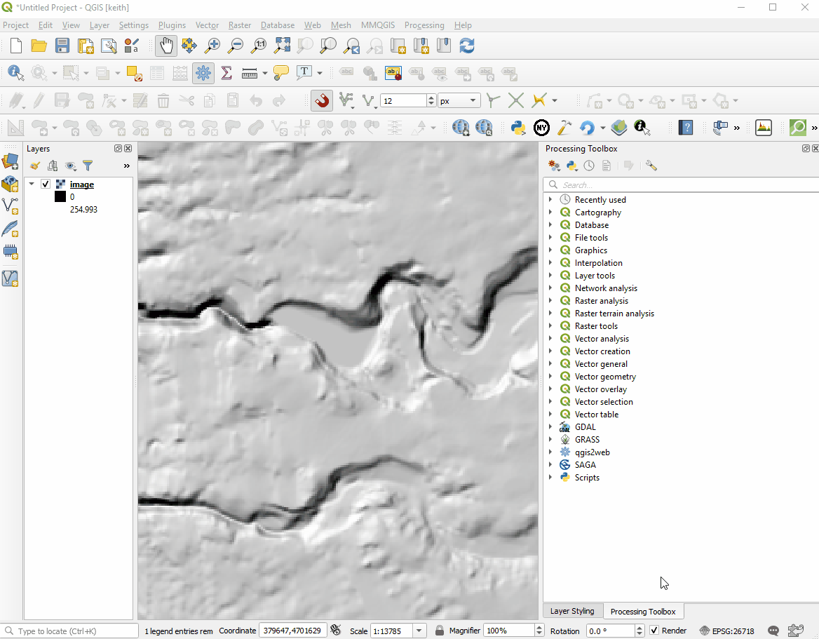
A quick demo using a hexagon grid with a centroid fill of points sized using raster values from the image layer.
git clone https://github.com/r-barnes/ArcRasterRescue.git
cd ArcRasterRescue
make
cd ..
./ArcRasterRescue/arc_raster.exe fveg15_1.gdb/ 0 fveg15.tif
#Arc Raster Rescue (url=github.com/r-barnes/ArcRasterRescue, hash=b60ea39fcf11666d, compiled=2018-05-08 03:43:04 UTC)
#Allocating 4x30592x35456 = 4338679808
gdalinfo fveg15.tif| == Blockchain == | |
| getbestblockhash | |
| getblock "hash" ( verbose ) | |
| getblockchaininfo | |
| getblockcount | |
| getblockhash index | |
| getblockheader "hash" ( verbose ) | |
| getchaintips | |
| getdifficulty | |
| getmempoolinfo |
| #!python3 | |
| # Using python3 anconda | |
| # conda install -c conda-forge gdal | |
| from pathlib import Path | |
| from contextlib import contextmanager | |
| from osgeo import ogr | |
| @contextmanager |
Visualize PostGIS index using Gevel in Postgres 9.6:
git clone git://sigaev.ru/gevel
cd gevel
git checkout bd8b8b031a8049a6e7c18c00946bfbd99d75d27f
USE_PGXS=1 make
sudo USE_PGXS=1 make install
psql -f /usr/share/postgresql/9.6/contrib/gevel.sql
| -- Airport and Flight data can be downloaded at: http://openflights.org/data.html | |
| -- you'll need airports.dat and routes.dat | |
| -- (I added a couple of commercial flights that I know exist, | |
| -- but weren't in the Open Flights data | |
| -- OK, on to the good stuff. | |
| -- The first thing we do is load the top 52 list, which has the place and | |
| -- the nearest commerical airport. (This is data I just figured out by hand. | |
| -- Where it's very ambiguous, like "Canada" I just used the appropriate capital (i.e. Ottawa)) |
| sudo add-apt-repository "deb http://apt.postgresql.org/pub/repos/apt/ xenial-pgdg main" | |
| wget --quiet -O - https://www.postgresql.org/media/keys/ACCC4CF8.asc | sudo apt-key add - | |
| sudo apt-get update | |
| sudo apt-get install postgresql-9.6 | |
| sudo apt-get install postgresql-9.6-postgis-2.3 | |
| sudo apt-get install postgresql-9.6-pgrouting | |
| sudo add-apt-repository ppa:ubuntugis/ubuntugis-unstable | |
| sudo apt-get update |
| -- Adapted from these sources: | |
| -- http://peterdowns.com/posts/open-iterm-finder-service.html | |
| -- https://gist.github.com/cowboy/905546 | |
| -- | |
| -- Modified to work with files as well, cd-ing to their container folder | |
| on run {input, parameters} | |
| tell application "Finder" | |
| set my_file to first item of input | |
| set is_folder to (do shell script "file -b " & quoted form of (POSIX path of my_file)) | |
| if is_folder ends with "directory" then |
How to set up a quick geocoding system on google spreadsheets.
=searchMapzen(place_cell,mapzen_api_key)
