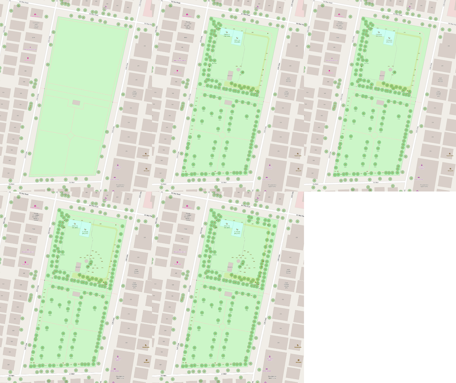
Citizens led effort to map trees in the city, supported by Alamaram and the Open Mapping Community.

Setup
- Download and install maps.me for your Android/iOS device
- Download the maps for your region of interest (Karnata - South for Bengaluru)
Adding a tree
- Turn on your GPS to locate yourself on the map
- Use the map option on the bottom right to
Add a place - Choose
Attractionfrom the category list (Trees are not available at the moment) - Fill in the tree name, use the common name or the scientific name if known
- The map will be instantly updated and uploaded online. You can use login with your FB account, or do this later from the profile settings if you dont have phone internet.
- You can view the final map on OpenStreetMap or download the raw data of all trees from Overpass
Post mapping cleanup (for experienced mappers)
- Since the points were added as attractions instead of trees, @planemad will do a simple re categorization of the uploaded points on the map. This issue will be fixed in the next update of maps.me